Extreme temperatures across the province have played a part in the rapid snowmelt that’s flooded interior B.C. in recent weeks, according to the River Forecast Centre.
“They’re typically about five degrees above normal for the past month now, which is exceptional,” said River Forecast Centre head David Campbell.
“Some daily temperatures have been 10 to 15 degrees above normal.”
Emergency BC executive Chris Duffy said that there are 36 local states of emergency, 40 evacuation orders and 68 evacuation alerts throughout the province.
However, the high temps mean that there isn’t as much snowpack left to keep the flooding going.
Snowpacks throughout the province have dropped “quite a bit” since the beginning of the month, Campbell said.
“The concern is really is shifting to any kind of severe rainfall” rather than snowpack melting, he added.
However, the snowpack stats reflect higher elevation snow and not the mid-elevation snow that has Campbell worried for regions like the higher-elevation Kootenays.
Both regions have seen heavy flooding in recent weeks, with Grand Forks seeing much of its population evacuated last week.
“The Kootenay region is where we have more significant snowpacks still available,” said Campbell.
“In terms of risk both from snowmelt and rain the Kootenays is where the risk is.”
However, looking down south towards the Fraser River, Campbell said that river levels were high enough for added snowmelt to cause “major responses.”
Currently, the Mission gauge is sitting at six metres, still below the 6.4 metres seen during the record flows of 2012.
READ MORE: Fraser River water levels creeping towards near-record highs
“We could see some additional rises this week as that additional melt comes in,” said Campbell.
“Because the flows are so high, we’re very vulnerable to any additional input.”
Agriculture minister Lana Popham said that so far, two dairy farms have been relocated on Barnston Island due to the flooding.
Popham said that province does not have figures available for how much farmland has been lost to the floods but urged farmers to sign up for Premise ID, the government’s program that links livestock and poultry to geographic locations” so that animals can be traced as evacuations occur.
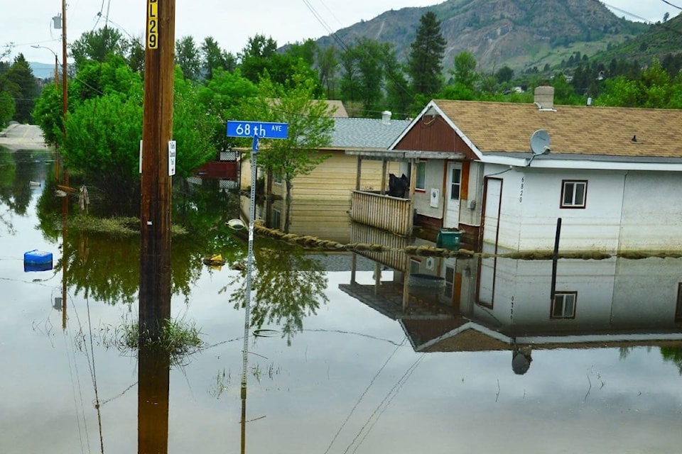
In the Okanagan, the flood risk is shifting from snow melt to rainfall for the Similkameen River, said Campbell.
However, they don’t foresee “significant” rainfall in the coming week.
READ MORE: B.C. to match up to $20M in Red Cross donations for flood victims
The rate of Okanagan Lake rising has slowed significantly, said Shaun Reimer, who is the section head for public safety and protection in the Okanagan for the forests ministry.
“Okanagan Lake is rising at under three centimetres per day… certainly decreased from several weeks ago when we were seeing rises of six-seven centimetres,” said Reimer.
“That seems to be an ongoing trend. It’s indicative that the tributaries feeding Okanagan Lake are dropping”
Reimer said the lake level is currently sitting at 342.6 metres above sea level. That’s still 40 centimetres below where the province is asking local government to build flood protection measures up to, but the waters could continue to rise.
“If we see significant rainfall, we could hit 343 metres,” said Reimer.
Like us on Facebook and follow us on Twitter.