Current models show that a “potentially historic” storm brewing off of the west coast of Vancouver Island should have de-escalated by the time it reaches landfall.
But that may still change, according to Environment and Climate Change Canada.
Noted University of Washington meteorology professor Cliff Mass described the “record-breaking monster storm off our coast…the most intense in the historical record,” in a post to his blog, which circulated through some Vancouver Island Facebook groups this week.
Armel Castellan, a warning preparedness meteorologist with Environment and Climate Change Canada said the storm is very interesting academically, and potentially historic. At its peak, it could produce high-speed winds, which may gust enough to be considered hurricane conditions. But without sustained speeds, it won’t be classed a hurricane, and its most intense deepening should happen off-shore, out of harm’s way.
“It’s a ‘if a tree falls in the forest, but nobody is there to hear it,’ situation,” he said.
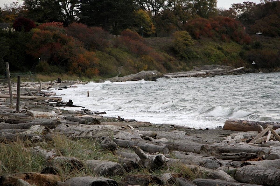
Special warnings are likely coming later today for the northern and western areas of Vancouver Island. Some warnings may also come for other areas into the weekend, including potentially the eastern portion of the Island, the Juan de Fuca area near Victoria and some coastal areas of Vancouver like Richmond.
Rain will start early Sunday morning, taper off early Monday, and continue throughout the island intermittently. Castellan added Vancouver Island is not likely to see as much as precipitation as recorded in some parts during atmospheric rivers the past couple of days.
READ MORE: Heavy rain expected this weekend over most of Vancouver Island
The recent rainfall on the Island has seen the atmospheric conditions flip on their head during the month of September, when lingering drought conditions from the summer were still in effect.
“It’s been an active pattern,” he said. “We’ve started seeing a November weather pattern, usually our wettest month, during the month of September, two months earlier than usual.”
Castellan said with the amount of leaves still in the trees, high winds could see drains blocked with leaves and some localized flooding and potentially power cuts.
Current forecasts call for wind gusts to first hit the north of the Island Saturday night. Then sustained stronger winds will last throughout Sunday into Monday. On Monday, the wind direction is set to change on the west coast of the island, which is when that area may see the most impacts from the storm.
Castellan added there is still an outside chance it could land earlier and bring more intense conditions with it.
Residents should monitor updates about the weather.
@moreton_bailey
bailey.moreton@goldstreamgazette.com
Like us on Facebook and follow us on Twitter.