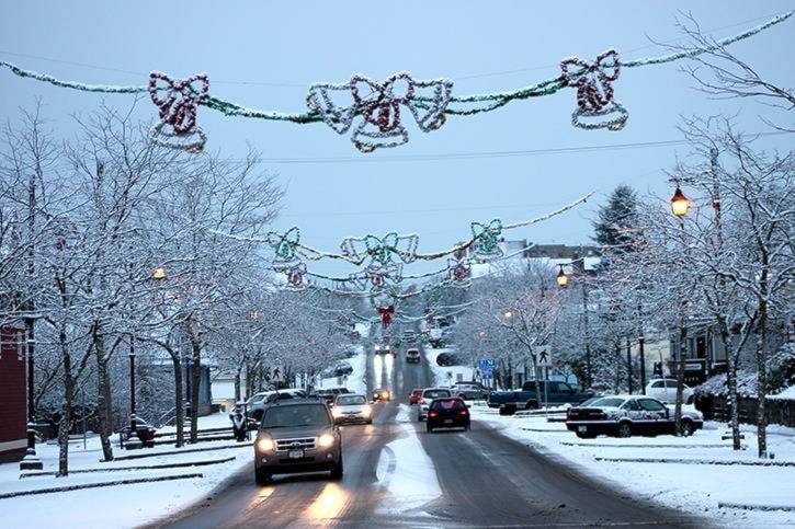
Ladysmith and Chemainus could be in for more snow and the potential risk of freezing rain on Thursday afternoon and into the evening.
Environment Canada has issued a special weather advisory shortly after 5:30 a.m. this morning for East Vancouver Island, specifically Courtenay to Campbell River, Duncan to Nanaimo and Nanoose to Fanny Bay.
Snowfall amounts of 5 to 10 cm are possible over higher terrain of Greater Victoria, East Vancouver Island, Southern Gulf Islands and Inland Vancouver Island. There is also a “slight risk” of freezing rain later today.
The weather agency noted that “an Arctic front continues to plod its way through the South Coast inlets this morning, leaving a colder air mass in its wake.”
The front is travelling south of Squamish while Arctic air is pushing out from the Fraser Valley.
“At the same time, precipitation from a Pacific low and front off Vancouver Island will move over the cool south coast air,” Environment Canada said.
“The cool, strong northeast flow will increase precipitation rates, causing rain to turn to snow later this morning over higher terrain from Victoria all the way up to Campbell River, and over inland communities of Vancouver Island, like Port Alberni and Lake Cowichan.”